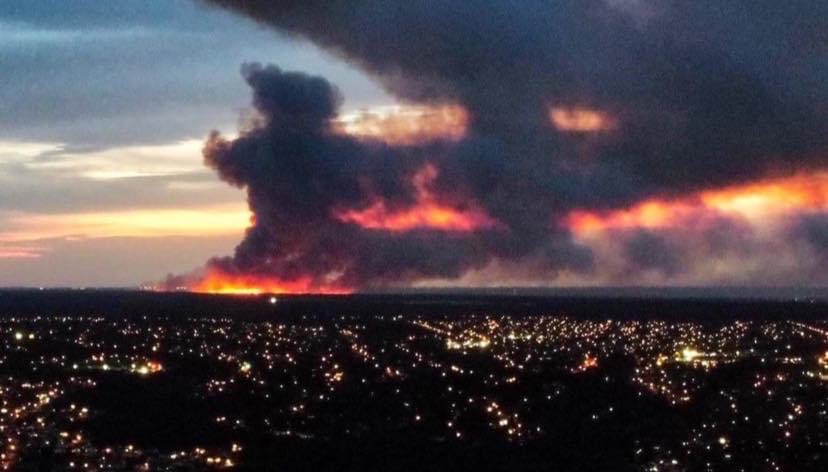
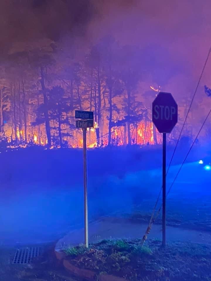
MANCHESTER: The New Jersey Forest Fire Service continue to make substantial progress in containing a wildfire in Manchester Township on federal, state and private property which has reached 3,859 acres in size and is 60% contained.
⚠️ 20 structures remain threatened. Local volunteer fire departments are providing structure protection as needed. There are no evacuations in place.
ROAD CLOSURES
⚠️ Horicon Ave is closed.
⚠️ Beckerville East Road and Beckerville West Road are closed.
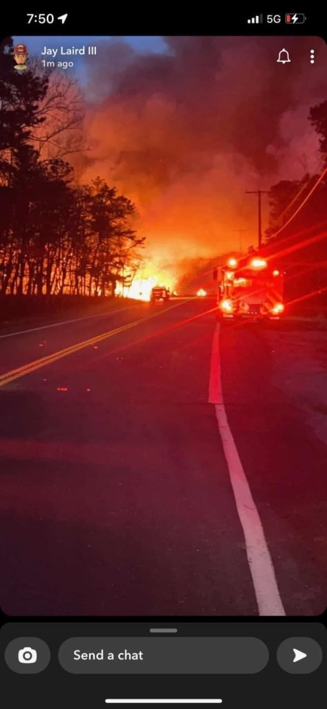
Forest Fire Service personnel will continue working to improve containment lines on Route 539 and Route 70 which were closed overnight. Please stay vigilant when driving through smoke conditions.
No injuries have been reported. The cause of the fire is under investigation.
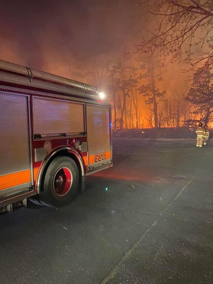
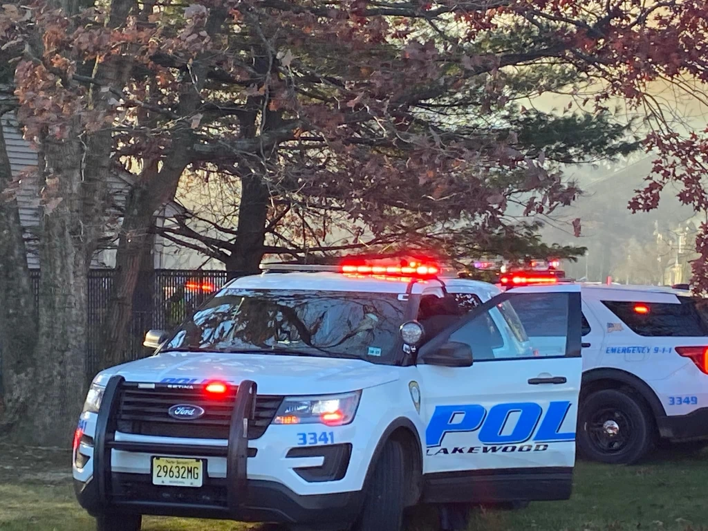
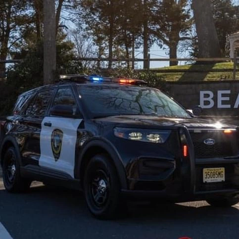
The New Jersey Forest Fire Service and Joint Base McGuire-Dix-Lakehurst Fire Department continues to operate in unified command.
Additionally, the New Jersey Air National Guard have provided two Blackhawk helicopters who will be conducting water drops this afternoon. We thank them for their assistance.
Please remember, “No Drones in Fire Zones – If YOU fly, WE can’t!” More info: https://www.facebook.com/NJForestFireService/posts/pfbid02XeCUXmgBdqXSqbZE3d3roqQb3EFkkFKRD9xkav4VYaHKWzL4Mym9HoVHMdPGUpvwl
Stay tuned to this page for updates.
Helpful Wildfire Terminology
🔥 Wildfire – An uncontrolled fire burning the different types of vegetation that cover the land. A wildfire is considered a “major wildfire” after it exceeds 100 acres in size.
🔥 Containment – When reporting on a wildfire a percentage of containment will be given, which will state how much of the fireline has been completed.
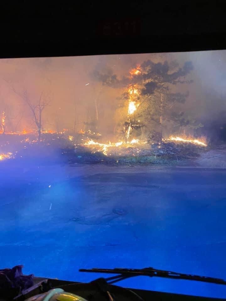
🔥 Backfire – A fire intentionally set along the interior edge of a fireline by Forest Fire Service staff to consume fuel in the path of a wildfire and/or to change the direction of force of a fire’s convection column.
🔥 Fireline – The part of a containment or control line that is scraped or dug to mineral soil.
🔥 Threatened – Critical infrastructure, roads, homes and commercial buildings that are in the vicinity of a wildfire.


Leave a comment